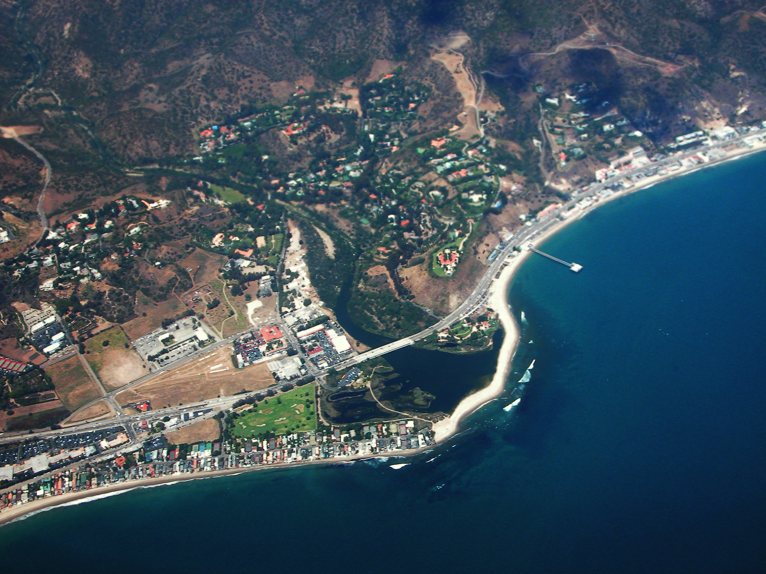
MALIBU—The city of Malibu indicated in a news release on the city’s website, that the Federal Emergency Management Agency (FEMA) will hold a public meeting on Tuesday, August 22, from 6:30 p.m. to 8:30 p.m. at Malibu City Hall, to discuss its newly revised drafts of floodplain maps for areas within Malibu, along the coast.
City staff and representatives from FEMA will deliver information and discuss the revised draft floodplain maps, the effects these maps will have on development, the need to annually purchase federal flood insurance, the FEMA map adoption process and schedule, and the FEMA appeal process.
The floodplain map revisions are part of the California Coastal Analysis and Mapping Program (CCAMP). Based on engineering studies that considered tide, wave surge, wave run-up, and overtopping analysis, the new maps propose the removal of some properties from the currently effective floodplain map, and the addition of other properties for the first time. New Base Flood Elevations and Flood Zones were also established as a result of the studies.
Property owners can challenge FEMA on the revised draft floodplain maps with technical information by emailing Malibu City staff at RDuboux@malibucity.org during the 90-day appeal period (August 9 to November 6, 2017). The Criteria for Appeal of Flood Insurance Rate Maps are available on the FEMA website.
The FEMA Map Service Center allows users to enter location information to view a home’s or community’s projected risk to flood hazards. (Note: The files are very large and may take some time to download.) The Open Pacific Coast Study can also be viewed online.
For additional questions, contact Robert DuBoux, Assistant Public Works Director/City Engineer, at (310) 456-2489 ext. 339 or RDuBoux@malibucity.org.


