

SOUTHERN CALIFORNIA—Southern California is a region home to hills, valleys, and plenty of hiking trails. Listed below are 10 especially well-known hikes and trails that are considered by many to be some of the best and most scenic.
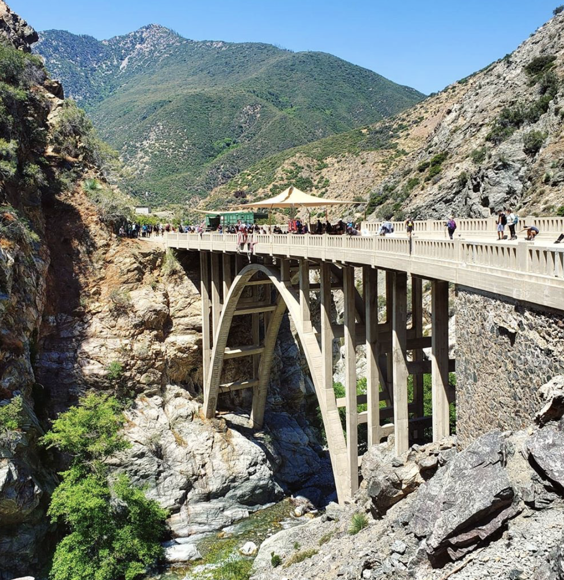
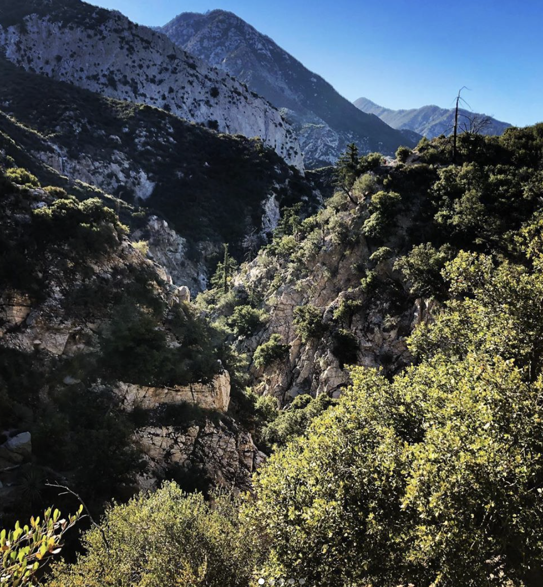
Originally built to connect San Gabriel Valley to Wrightwood, the Bridge to Nowhere is located in the San Gabriel Mountains, north of Azusa. The trail winds along the San Gabriel River before reaching the bridge. The hike distance is around 10.5 miles, and the total ascent is close to 1,900 feet.
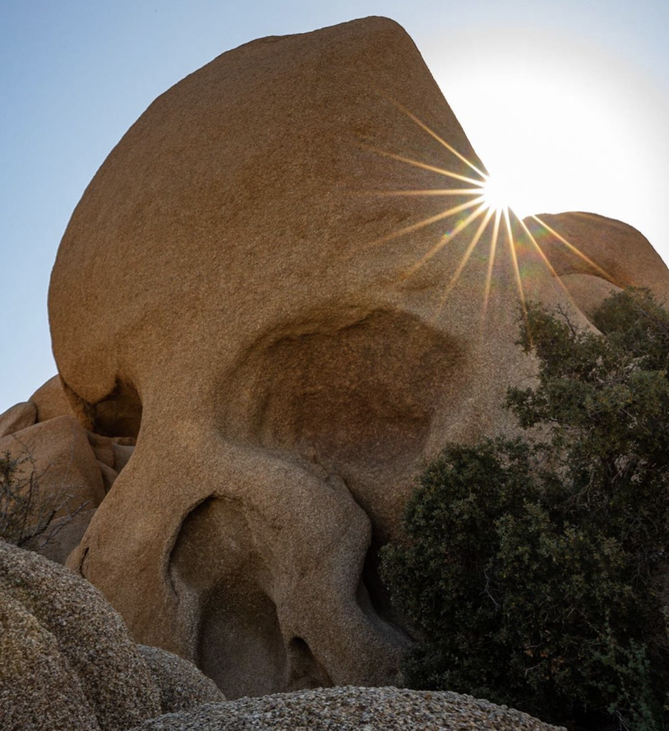
Located in the Joshua Tree National Park, the Skull Rock Trail forms a 1.8-mile loop. There is an elevation gain of 120 feet. The trail allows hikers to pass by Skull Rock, a rock that was eroded by water until it resembled a skull.
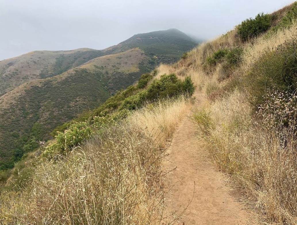
Situated in the Santa Monica Mountains, the Solstice Canyon Trail is also loop-shaped. The 2.1-mile path passes by the Roberts Ranch House ruins and a waterfall, and boasts views of the Pacific Ocean. It has an elevation gain of 300 feet.
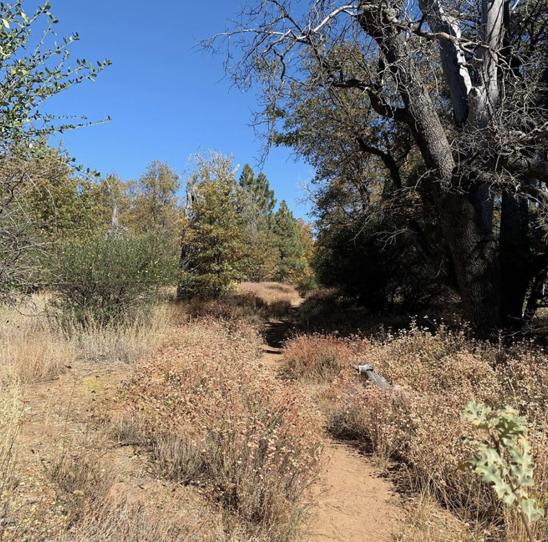
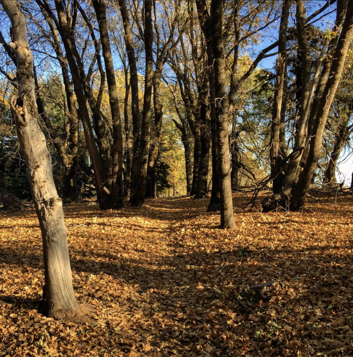
Passing by and through forests, meadows, and sometimes an alpine lake too (depending on the season), the Big Laguna Trail is a 10-mile loop which takes approximately 5 hours to hike. Mountain lions and rattlesnakes have reportedly been sighted in the area. There is a total ascent of 1000 feet.
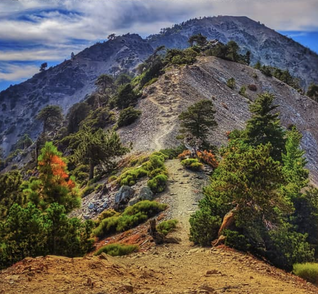
Also known by its official name, Mount San Antonio, Mount Baldy boasts a peak that is the highest point in Los Angeles, reaching over 10,000 feet. Hikers have died on the Mount Baldy Trail – which goes up to the mountain’s peak – during the winter. It takes around 7 hours to complete the 11-mile trail, which has a total ascent of almost 4,000 feet.
6. Salt Creek Interpretive Trail
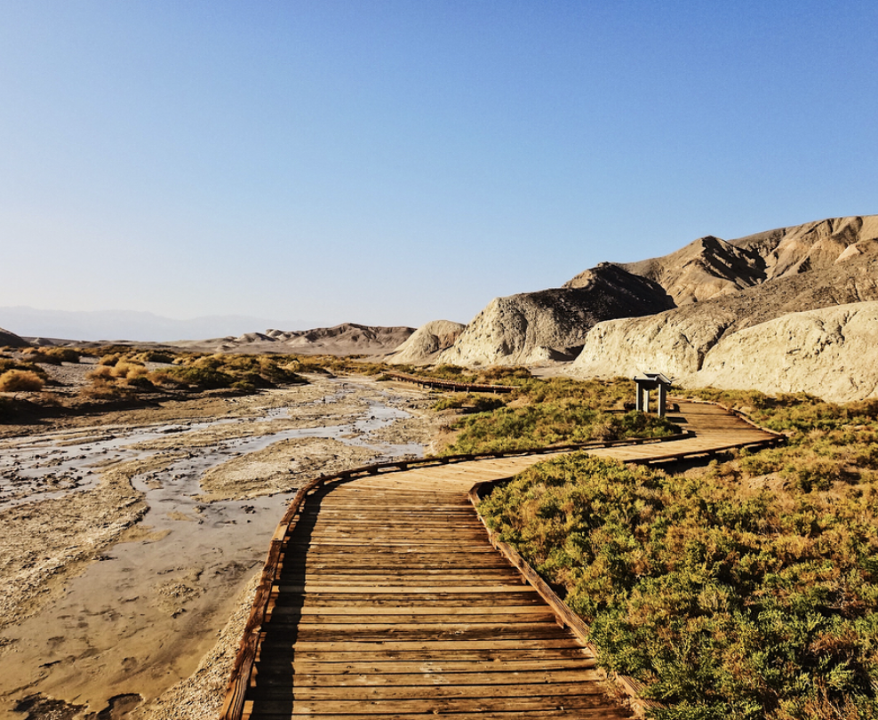
Located in the Death Valley National Park, the Salt Creek Interpretive Trail is especially famous for being home to two endangered subspecies of Death Valley pupfish. The trail is around 1 mile long and is flat throughout.
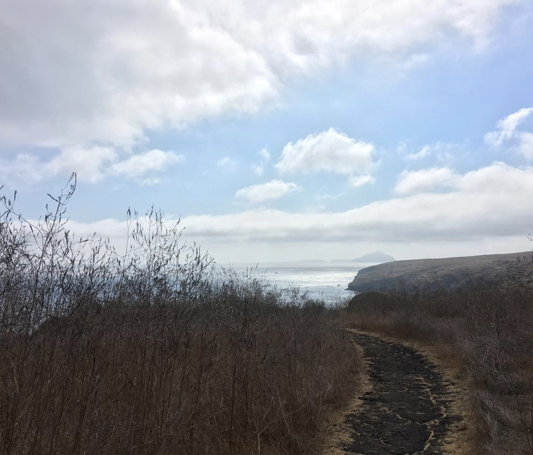
Santa Cruz Island, the largest of the 8 Channel Islands, features the 7.7-mile Smuggler’s Cove Trail. The path leads to Smuggler’s Cove, and there is a ranch closeby. The elevation gain is close to 700 feet.
With an elevation gain of around 800 feet, the Boucher Hill Loop provides panoramic views of San Diego, Riverside, and Orange Counties. The trail stretches 3.6 miles and leads to the Boucher Hill Lookout Tower at the summit.
Beginning at the Switzer Picnic area, the Switzer Falls Trail ends at the Lower Switzer Falls. A short uphill trail leads to the taller Upper Switzer Falls. The total ascent is almost 700 feet, while the trail distance is 4 miles.

Ending behind the Hollywood Sign, the Brush Canyon Trail is 6.5 miles long. The elevation gain is over 1,000 feet. Known in popular culture as the “Batcave” and by locals as “Bronson Cave,” there is a cave along the trail that was featured in the 1960’s series “Batman.”
[Images have been cropped]


