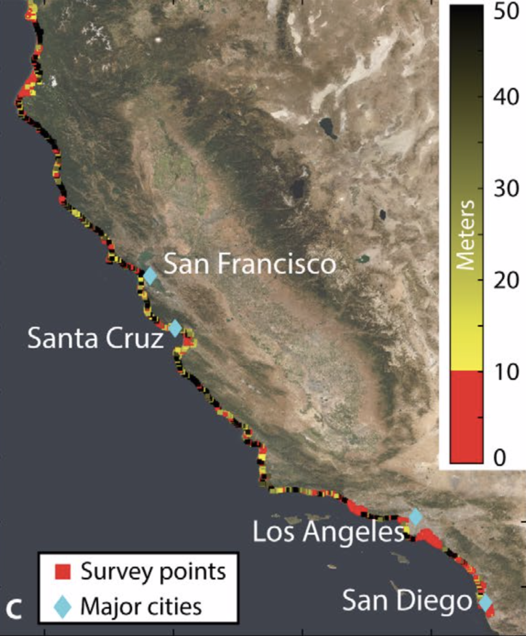
CALIFORNIA—Certain areas along California’s coast have a higher risk of sinking and flooding by the end of this century according to a new study by Arizona State University, published on July 31.
The NASA-funded study measured the entire 1350 km stretch of California from 2007 to 2018. The results showed that the majority of San Francisco, Monterey Bay, San Diego, and Los Angeles are sinking rapidly.
The San Francisco Bay’s perimeter is sinking at the rate of 5.9 millimeters per year, whereas the San Francisco International Airport is sinking faster than 2 millimeters per year, according to Em Blackwell, lead author of the study. The Los Angeles area shows sinking in some coastal areas, but most of the inland is sinking. “The Monterey Bay Area, including the city of Santa Cruz, is rapidly sinking without any zones of uplift,” Blackwell said in a press release.
The researchers used Interferometric Synthetic Aperture Radar (InSAR), an instrument that uses radio waves from Earth-orbiting satellites to measure land-surface changes. Using two images of the same area acquired at different time periods and displacing them, this instrument creates an interferogram or a map that shows how the ground changes over time. These ground changes can be used to predict how much time it takes for the area to get flooded.
68.5% of California’s population lives in coastal areas according to the Office of Coastal Management, NOAA. Taking the rising sea levels into consideration along with the land sinking, these coastal communities are at a higher risk of flooding, according to the researchers.
Moving forward, the researchers hope other scientists can build on this study to find more coastal hazard zones in the United States and around the world.


